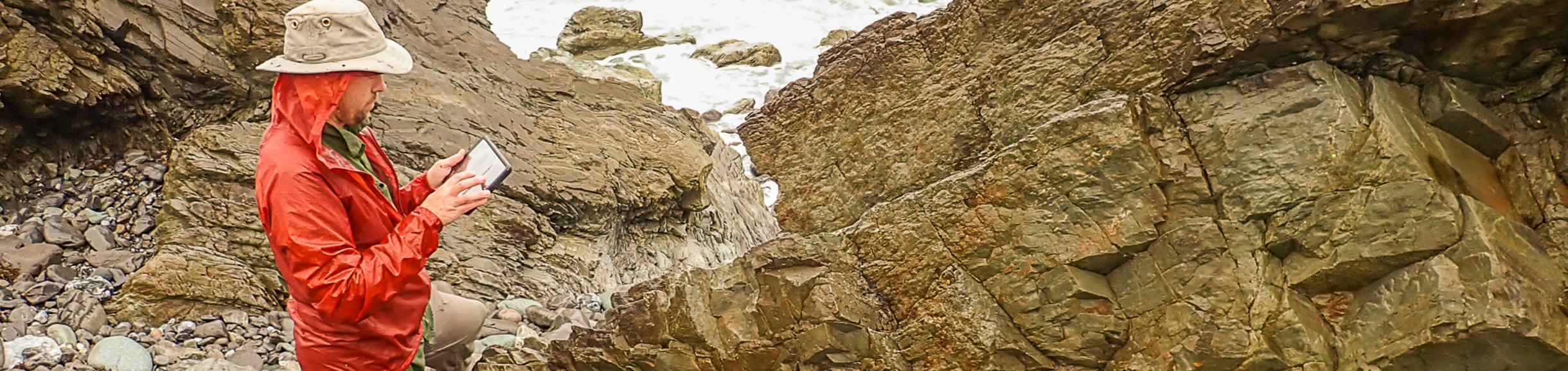
In Fall 2016 I introduced the GeoPad system in a newly designed graduate-level Modern Field and Visualization Techniques course. I advertised and recruited the 12+ students from our department and beyond (Environmental Sciences, Anthropology) ensuring diverse backgrounds in geology, geophysics, paleontology, environmental sciences, and anthropology. For this course students generated their own basemaps and then utilized them in the field. The course also included an introduction to landscape change detection, post-export data manipulation, and every student had a chance to 3D print a fossil or landscape that they digitally modeled. The graduate students picked up the digital field mapping technology as well as the undergraduates and seemed to produce tidier and more data-rich maps. A personal highlight for me was to see how the intuitiveness of the GeoPads and the FieldMove program enabled archaeologists to quickly pick up the basics and create their first geologic map in less than two full days! They could easily see how the same program and methodology could be utilized for archaeological mapping.