My Approach
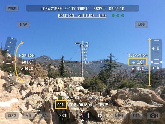
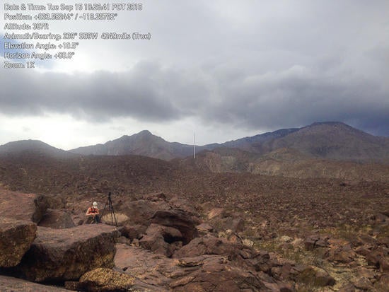
When teaching students I emphasize the need to create clear and careful notes while in the field and the importance of producing crisp linework that is tidy (it is what they are expected to turn in and are graded on). However, the reality is that my opportunities for fieldwork are so few and far between, and often can involve such hard-to-get-to locations, that efficiency is of greatest importance. For me a well-utilized hour in the field is worth ten staring at a computer screen in my office...for better or worse this means staring at a computer screen while in the field too! These days I do all field mapping and most structural measurements using a GeoPad, as well as brief notes, low priority field photos, and some field sketches. I back up important GPS locations in my paper field notebook and still use it for more involved descriptions or sketches. I always take a digital SLR camera for important photos where the greatest manual control and resolution are crucial. Two other useful tips: (1) I always make sure the time on my phone, GeoPad, camera, GPS, and all other recording electronic devices are perfectly synced so that it is foolproof to correlate times and locations outside of the field. (2) Recording a GPS track all day (takes little battery on a Bad Elf GPS) provides an important backup record of where you were and when, which again can help reconstruct locations of photos and samples taken. Once out of the field I export the field data (mapping, measurements, geotagged notes, etc.) primarily to ArcGIS for further editing and geospatial analysis.
I will aim to add more topics and content with time, but for now I have included a few research-based uses of the GeoPads beyond what is perhaps useful to teach undergraduate students.


